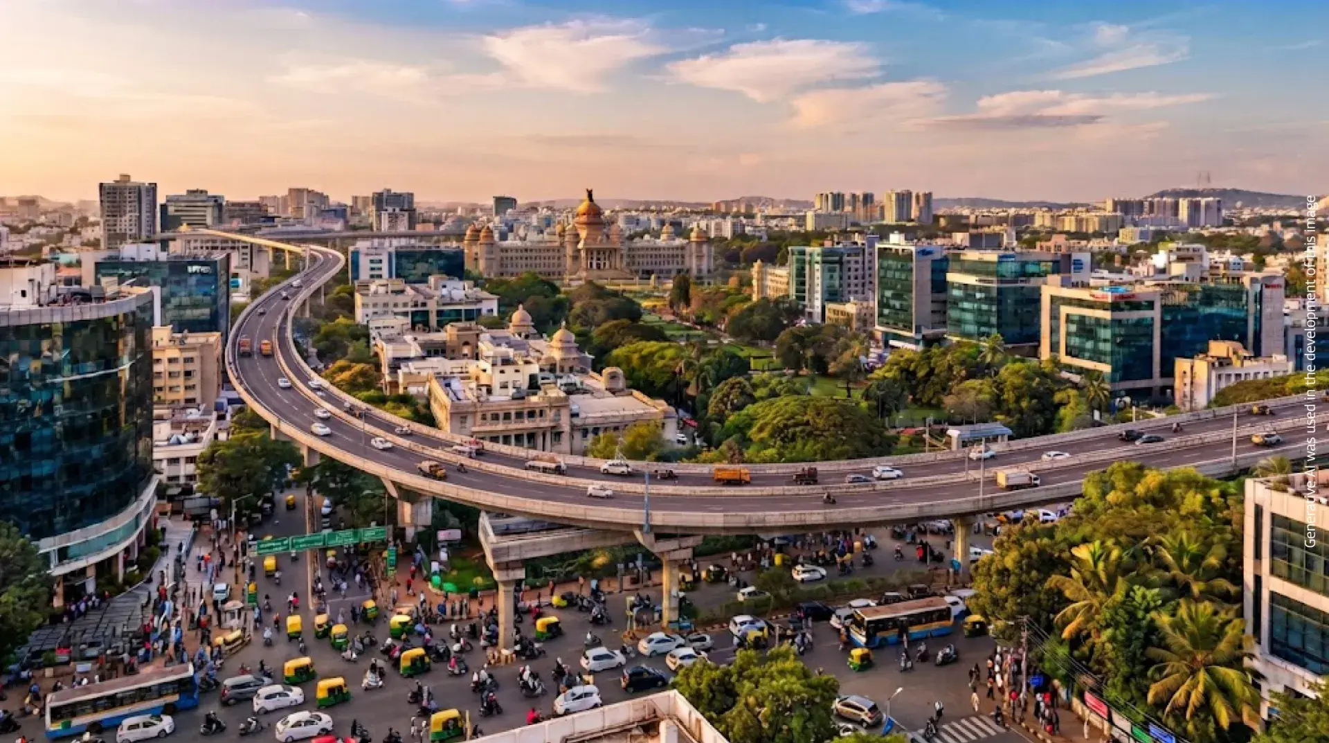
Bangalore has earned a global reputation as India's Silicon Valley, attracting professionals, entrepreneurs, students, and investors from across the country and abroad. While its thriving IT ecosystem and pleasant climate are widely recognised, many people are often confused about one basic question—what is the actual area of Bangalore?
The answer isn't as simple as a single number. Depending on whether you're referring to the Bruhat Bengaluru Mahanagara Palike (BBMP), Bengaluru Urban District, or the larger Bangalore Metropolitan Region (BMR), the city's geographical area varies considerably.
Understanding these administrative boundaries is useful for homebuyers, property investors, businesses, and anyone planning to relocate to Bangalore. It provides better clarity about civic administration, infrastructure planning, connectivity, and the city's future growth.
In this guide, we'll explain Bangalore's area in square kilometres, its districts, city limits, major zones, and how continuous urban expansion is transforming one of India's most dynamic real estate markets.
When people search for "Bangalore area in sq km," they may encounter multiple figures because different government authorities define Bangalore using different administrative boundaries.
The table below explains these distinctions.
| Region | Approximate Area |
|---|---|
| Bengaluru Urban District | 2,196 sq km |
| BBMP (Greater Bengaluru) | Around 709 sq km |
| Bangalore Metropolitan Area (BMA) | Around 1,300 sq km |
| Bangalore Metropolitan Region (BMR) | Over 8,000 sq km |
For most residents, Bangalore generally refers to the area governed by the Bruhat Bengaluru Mahanagara Palike (BBMP), which covers approximately 709 square kilometres.
However, the city's economic influence extends well beyond these municipal limits into the Bangalore Metropolitan Region, making it one of India's largest urban agglomerations.
Like many rapidly growing cities, Bangalore is governed through multiple administrative and planning authorities.
Understanding these divisions helps explain why different sources report different land areas.
Bengaluru Urban District
The Bengaluru Urban District is one of Karnataka's 31 districts and includes Bangalore city along with several surrounding urban and peri-urban areas.
It is administered by the district administration and serves as an important administrative unit for governance, elections, and public services.
Bruhat Bengaluru Mahanagara Palike (BBMP)
The Bruhat Bengaluru Mahanagara Palike (BBMP) is the municipal corporation responsible for administering Greater Bengaluru.
Its responsibilities include:
Most residential and commercial neighbourhoods commonly associated with Bangalore fall within BBMP limits.
Bangalore Metropolitan Area (BMA)
The Bangalore Metropolitan Area (BMA) covers a larger planning area than BBMP and includes additional urbanising regions surrounding the city.
The BMA is planned to support future population growth, infrastructure expansion, housing development, and improved transportation networks.
Bangalore Metropolitan Region (BMR)
The Bangalore Metropolitan Region (BMR) extends significantly beyond the city itself.
It includes Bengaluru Urban District along with neighbouring regions that are expected to experience long-term urban development.
The Bangalore Metropolitan Region is planned by the Bangalore Metropolitan Region Development Authority (BMRDA) to promote balanced regional growth through integrated infrastructure, industrial development, and residential planning.
One reason many people become confused while researching Bangalore's geography is that the term "Bangalore land area" can refer to different geographical units.
For example:
As Bangalore continues expanding, these boundaries play an increasingly important role in infrastructure planning, transportation, and real estate development.
Bengaluru has evolved from a quiet garden city into a sprawling metropolitan powerhouse. Because the city grew outward in multiple directions, its real estate dynamics, lifestyle options, and commercial hubs vary significantly by zone. Understanding these distinct regions helps homebuyers, investors, and professionals pinpoint the exact micro-market that aligns with their lifestyle and investment goals.
Central Bengaluru
Central Bengaluru serves as the historic, cultural, and administrative heart of the city. While new residential supply here is limited mostly to boutique luxury developments or redevelopment projects, it remains unmatched in heritage and connectivity.
North Bangalore
North Bangalore has transformed over the past decade into one of India's most dynamic growth corridors, heavily fueled by aviation infrastructure and expansive commercial parks.
South Bangalore
South Bengaluru is celebrated for its rich cultural roots, lush green canopy, mature social infrastructure, and tightly-knit, family-friendly neighborhoods.
East Bangalore
East Bengaluru is the undeniable technology powerhouse of the city, driving the highest volume of white-collar housing demand and rental activity in the region.
West Bangalore
West Bengaluru seamlessly blends traditional, established neighborhoods with steadily expanding commercial and industrial zones.
When reviewing municipal announcements, civic budgets, or real estate reports, terms like BBMP, BMRDA, and Bengaluru Urban District are frequently used interchangeably, though they refer to entirely different jurisdictions.
| Feature / Metric | BBMP (Bruhat Bengaluru Mahanagara Palike) | Bengaluru Urban District | Bangalore Metropolitan Area | Bangalore Metropolitan Region |
|---|---|---|---|---|
| Primary Purpose | Municipal Administration & Civic Maintenance | Revenue & District Administration | Comprehensive Urban Planning | Regional Infrastructure Planning |
| Approximate Area | ~709 sq km | ~2,196 sq km | ~1,300 sq km | 8,000+ sq km |
| Governing Authority | BBMP Corporation | District Administration (DC Office) | Planning Authority | BMRDA |
| Includes Core City | Yes | Yes | Yes | Yes |
| Includes Surrounding Growth Areas | Limited (Core urban spread) | Partial (Urban + rural taluks) | Yes (Active urban expansion zone) | Extensive (Multi-district satellite towns) |
Understanding these administrative distinctions helps residents, investors, and businesses accurately interpret government data, municipal taxation guidelines, infrastructure announcements, and long-term real estate trends across the metropolitan footprint.
Whether you're relocating for work, purchasing your first home, or evaluating investment opportunities, understanding Bangalore's administrative structure can help you make informed decisions.
Knowing the difference between BBMP limits, Bengaluru Urban District, the Bangalore Metropolitan Area, and the Bangalore Metropolitan Region provides valuable insight into:
As Bangalore continues to expand beyond its traditional city limits, emerging neighbourhoods supported by new infrastructure are becoming increasingly attractive for both homebuyers and investors.
Over the past two decades, Bangalore has expanded far beyond its traditional city centre. Once concentrated around areas like MG Road, Cubbon Park, and Basavanagudi, the city has grown into a sprawling metropolitan region driven by technology, infrastructure, and employment opportunities.
Today, residential development is no longer limited to central neighbourhoods. Emerging corridors such as Whitefield, Sarjapur Road, North Bangalore, Electronic City, and Devanahalli have become preferred destinations for professionals and families alike.
This expansion has been supported by significant public and private investments in transportation, commercial hubs, educational institutions, healthcare facilities, and mixed-use developments. As a result, Bangalore continues to attract new residents while creating opportunities for long-term real estate growth.
Infrastructure development has been the primary catalyst behind Bengaluru's explosive urban evolution. Ongoing and planned mega-projects are fundamentally transforming cross-city connectivity, cutting down commute times, and opening up fresh residential corridors.
These corporate districts continue to attract Global Capability Centres (GCCs), multinational technology giants, agile startups, and hundreds of thousands of migrating professionals.
Bengaluru consistently ranks as one of India's most resilient and sought-after residential real estate markets, driven by a rare combination of economic opportunity and lifestyle appeal.
Beyond corporate HQs and transit lines, Bengaluru's livability is defined by its deeply established social infrastructure, ensuring that every residential zone is self-sustaining and family-friendly:
As Bangalore continues to expand, homebuyers are increasingly seeking residences that combine excellent connectivity with thoughtfully designed living environments.
Mahindra Lifespaces has established premium residential developments in some of Bangalore's high-growth locations, offering homes that focus on quality, sustainability, and modern urban lifestyles.
Mahindra Blossom
Located in North Bangalore, Mahindra Blossom is designed for families looking to enjoy a well-connected lifestyle close to major employment hubs, educational institutions, healthcare facilities, and the airport.
Its strategic location provides residents with easy access to important business corridors while offering thoughtfully planned green spaces and contemporary amenities.
Mahindra NewHaven
Mahindra NewHaven offers premium residences that combine smart planning with excellent connectivity to Bangalore's expanding infrastructure network.
The project reflects Mahindra Lifespaces' commitment to sustainable development, quality construction, and creating vibrant communities that support modern lifestyles. As infrastructure projects continue to reshape Bangalore, developments in strategically located growth corridors are expected to benefit from improved accessibility and enhanced liveability.
Disclaimer: This content is for educational and informational purposes only and does not constitute financial, legal, or professional advice. Please consult with a certified professional or legal counsel before making any decisions based on this information.
The area governed by the Bruhat Bengaluru Mahanagara Palike (BBMP) covers approximately 709 square kilometres, while the larger Bangalore Metropolitan Region spans over 8,000 square kilometres.
BBMP is the municipal corporation responsible for civic administration, whereas Bengaluru Urban District is a district-level administrative division that includes Bangalore city and surrounding areas.
The Bangalore Metropolitan Region is a larger planning area that includes Bengaluru Urban District and neighbouring regions planned for future urban development under the Bangalore Metropolitan Region Development Authority (BMRDA).
The city's growth is driven by its thriving technology sector, expanding infrastructure, employment opportunities, educational institutions, and increasing demand for quality housing.
North Bangalore, East Bangalore, Whitefield, Sarjapur Road, and areas around the airport continue to witness significant residential and commercial development.

Established in 1994, Mahindra Lifespace Developers Ltd. (‘Mahindra Lifespaces’) brings the Mahindra Group’s philosophy of ‘Rise’ to India’s real estate and infrastructure industry through thriving residential communities and enabling business ecosystems.


Pune Metro Last-Mile Connectivity: Auto, Feeder Buses & Real Estate Impact


